
Atlas type
Image Base.
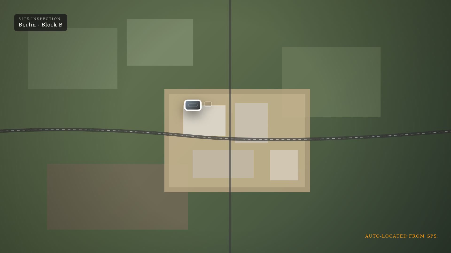
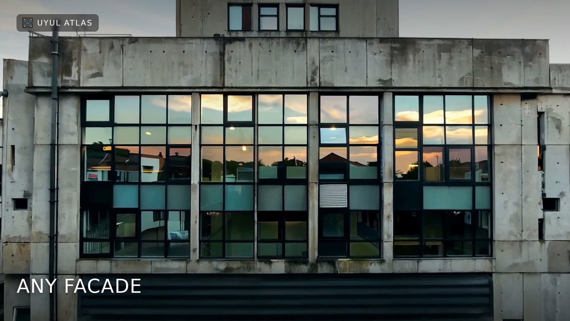
Upload a base image, such as a building façade, site overview, or elevation drawing, and place detailed images, pins, and comments on selected areas. For example, use a full-façade image as the base, then attach high-resolution photographs of individual tiles, windows, defects, or other façade elements for detailed inspection and documentation.